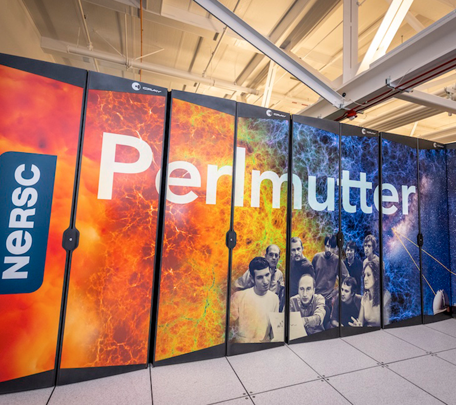
The use of artificial intelligence to help collect, understand, and analyze large sets of information has the potential to revolutionize our ability to observe, understand, and predict processes in the Earth’s systems. In the age of ‘Big Data,’ we are developing research that utilizes modern computational tools to accelerate scientific discovery and enable accurate, agile decision-making. This research makes use of machine learning, data sciences, informatics, and data management to advance state-of-the-art Earth science observations, modeling, and theory.

AI and ML can rapidly extract patterns and key information regarding Earth systems from enormous amounts of diverse, multi-scale data and state-of-the-art observation technologies. Our scientists utilize these technological advances for multiple research efforts, such as to understand and predict the impact of extreme events like heat waves, floods and wildfires at extremely large spatial scales; and to support efforts to monitor the behavior of CO2, or nuclear waste, stored underground. EESA also is a key contributor to a multi-laboratory initiative which seeks to answer how DOE can directly leverage AI to realize a paradigm-shift in predicting Earth system processes and interactions.
The ability to collect and create diverse environmental data now far outpaces the ability to assimilate it, much less improve predictive understanding of Earth system behavior across scales of space and time. EESA is at the forefront of improving access to and enhancing use of this rich data.
Our scientists have been advancing data management capabilities to handle and integrate diverse and multi-scale data streams. EESA leads research on making DOE environmental data more discoverable, accessible, and reusable.
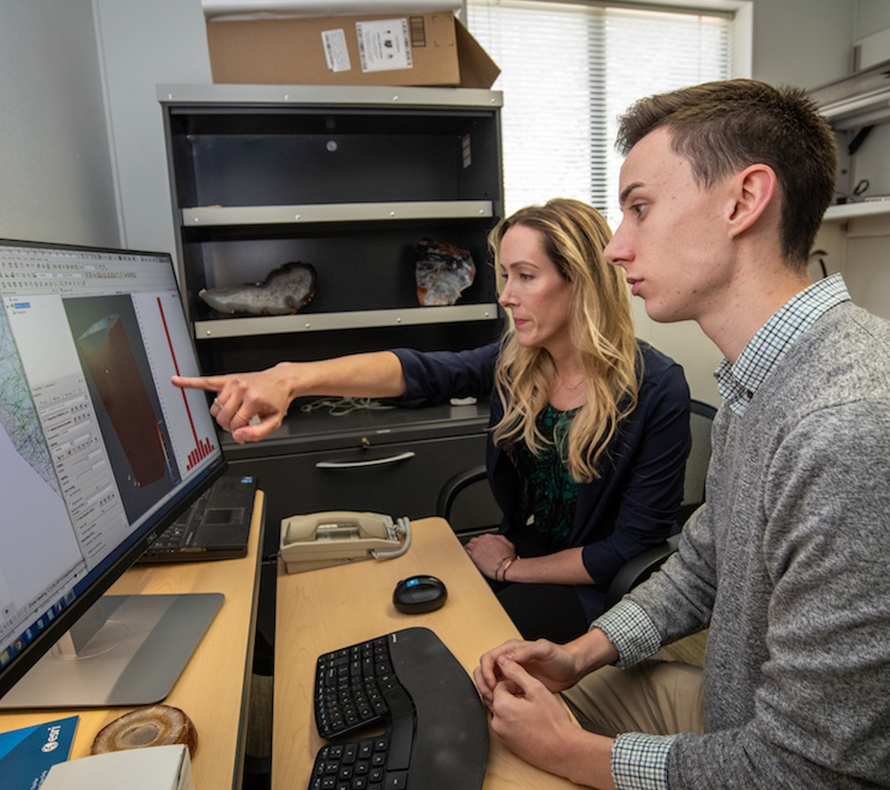
With the explosion of Earth observations, new capabilities are needed to translate measurements into datasets that can be used for analysis and modeling. EESA projects are developing tools and workflows for integrating data and creating value-added products for scientific and broader use.
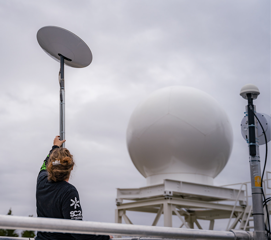
Our ability to collect and use ‘critical-to-know’ data of the right type at the right place and time is key to improving our understanding of underlying environmental processes, developing accurate models, and proposing solutions for future climate scenarios. EESA is pioneering the development and use of a diverse range of advanced monitoring and sensing technologies that allow the imaging and quantification of properties and processes spanning subsurface energy production to energy waste storage, terrestrial ecosystem processes, and critical land and sea infrastructure. A key focus is to develop autonomous observations that collect data at large scales using AI, advanced 5G, and wireless networking with edge computing.
