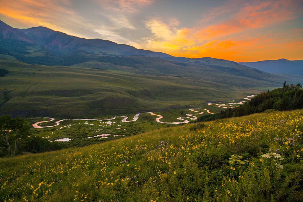
Now that disturbances such as drought, wildfires, and floods mark what many consider the “new normal,” practitioners can no longer depend on historical trends to project how watersheds will behave in future years or decades. Instead, new ways to study watershed response to environmental changes are needed. However, watershed behavior is difficult to predict in part because areas within the same watershed can be very diverse. For example, one zone in a watershed may be exposed to different meteorological conditions, support very different plants, and have different soil and geology compared to an adjacent area. This variability occurs over multiple scales and elevations, posing challenges to studying how watersheds function holistically.
To characterize the heterogeneous bedrock-to-canopy compartments and their impacts of watershed function, the Watershed Function Scientific Focus Area led by Berkeley Lab used data from a mountainous headwater catchment in the Upper Colorado River Basin to develop a watershed zonation approach – a method that uses unsupervised machine learning to characterize entire watersheds by identifying zones of similar functioning and characteristics. A recent paper describes their new method.

According to the lead author Haruko Wainwright, these “functional” zones, or watershed “zipcodes,” are expected to have a characteristic response to a perturbation. One functional zone might be conifer-dominated, north-facing hillside on granitic bedrock, while another could be south-facing meadow-dominated on shale bedrock. “These different zones are likely to respond uniquely to a perturbation such as early snowmelt or drought, and contribute a unique signature to the downgradient integrated water discharge and water-quality signature”, says Wainwright.
Co-author Susan Hubbard, former EESA Associate Lab Director and former lead for the Watershed Function SFA project, described the significance of this method. “Key watershed ‘data layers’ – which provide information about bedrock-through-canopy properties such as nutrient levels, water storage in soil, and temperature – are becoming more available using satellites and drones. This study shows how these data layers can be used to create 3D models, or ‘digital twins’ of complex watersheds.”
Wainwright explains that, “the study also shows how machine learning can be used with the data layers to identify watershed zonation, or watershed structure. This enables investigation of how the distinct zones respond to abrupt and gradual disturbances. Not only will the new zone-based approach help to address a longstanding watershed science question of ‘how much is enough’ when it comes to characterization datasets, but it will also allow for optimization of costly field campaigns and improve numerical prediction of how the watershed behaves as an aggregation of zones.”
As environmental disturbances occur more frequently and water demand continues to increase, the watershed zonation method allows for more accurate predictions of how watersheds will function in order to monitor and protect freshwater quality and quantity.


