Achieving water security and resilience is one of the 21st century’s grand challenges. Earth and Environmental Sciences Area research has focused on exploring pioneering ideas and a portfolio of innovative solutions to foster water resilience and ensure water security across various regions in the face of weather extremes, environmental challenges, and evolving social and economic realities. This encompasses hydroclimatic and watershed modeling, the explorations of natural solutions, as well as engineering strategies to address water demand and supply dynamics.
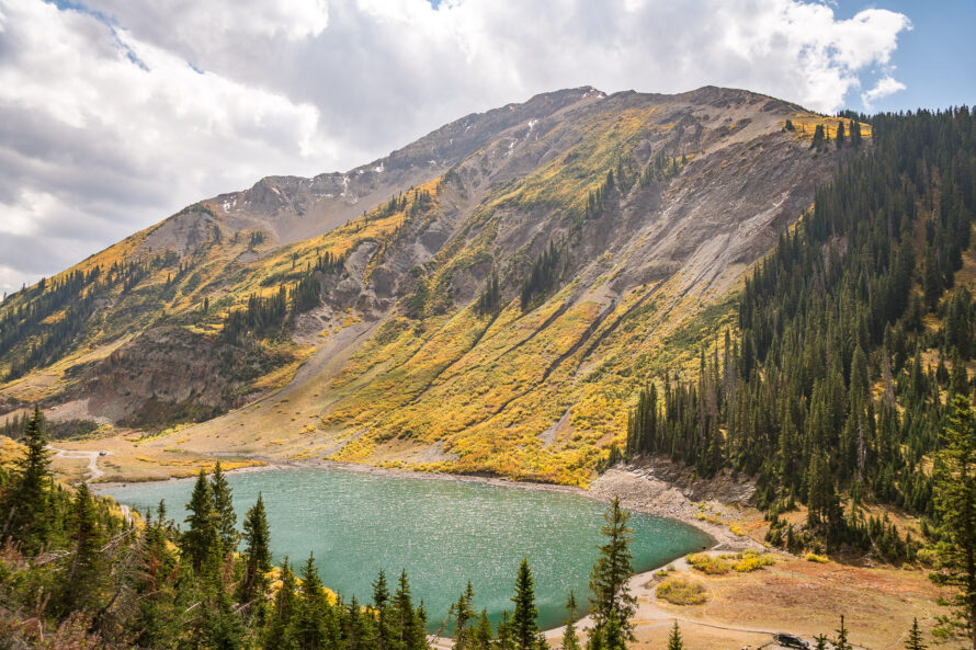
Watershed Science
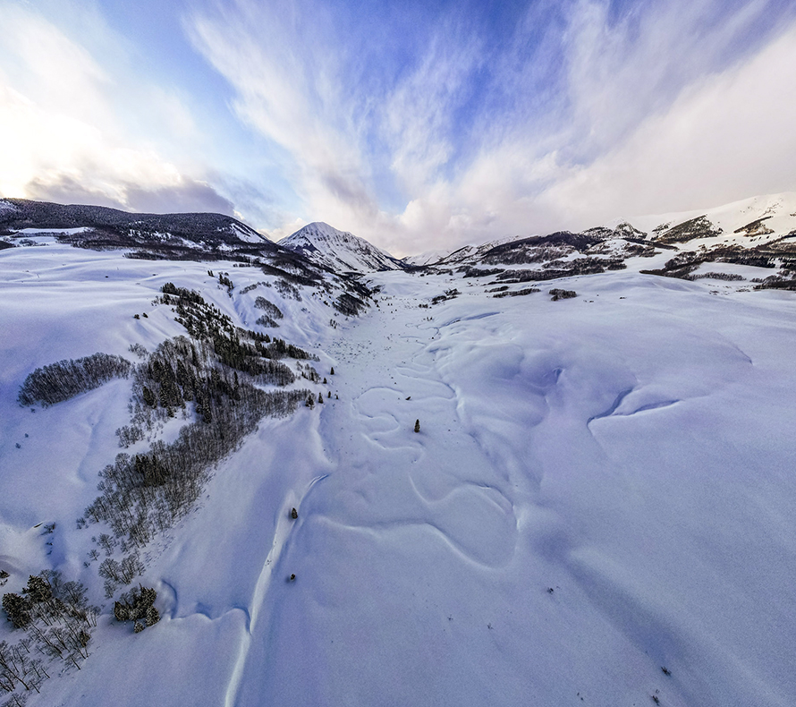
Because the planet’s mountain cryosphere is critical for providing billions of people with water we must understand how watersheds respond to disturbance events such as drought and extreme heat. EESA scientists established a technology-rich living field laboratory at the headwaters of the Colorado River to develop an unprecedented watershed dataset. We are pairing these observations with extensive computational capabilities to successfully prognose and predict the exact magnitude, timing, and location of changes to the mountain snowpack that is critical to a secure water future.
Natural Infrastructure
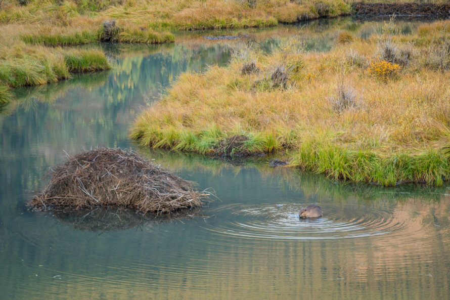
Natural infrastructure, such as wetlands, forests, parks, and vegetated roofs, provide multi-dimensional benefits across the water, energy, and carbon domains. Relying on natural processes that govern our environmental functions, this infrastructure enables effective and integrated management of our essential resources. Our scientists study, monitor, and model natural systems and their functionality from the top of the canopy to the depth of Earth’s subsurface, providing tools to evaluate the critical and holistic role our natural infrastructure plays in supporting water security, energy efficiency, and carbon mitigation.
Smart Water Infrastructure
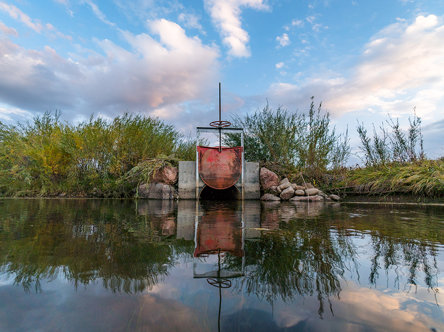
Smart, resilient water infrastructure solutions can enhance the reliability, adaptability, and resiliency of water systems. The recent surge in real-time data and analytical tools can revolutionize our understanding of and interlinks between natural and human systems and their management and operation. EESA is actively engaged in leveraging autonomous and remote-sensing technologies, harnessing high-resolution data through matching and mining techniques, developing innovative tools and modeling frameworks, and utilizing big data analytics to monitor, track, and manage water resources across scales, within built and natural environments, both above- and belowground.
Water-Energy Nexus
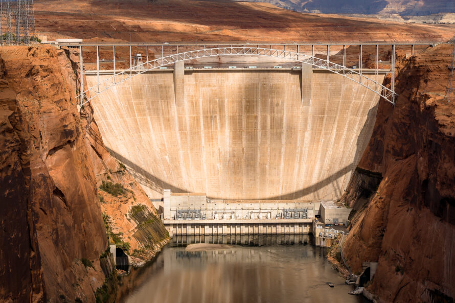
Energy is essential to the water-use cycle, from extraction and treatment to distribution and wastewater management. Our scientists are leading explorations into how non-traditional water sources can safely and effectively be integrated into the complex world of integrated water management. Others are working to understand the role of microbial communities in wastewater treatment, and targeting selective removal of key elements that can be detrimental to crop health from waters that are otherwise well-suited for agricultural use.
Groundwater Management
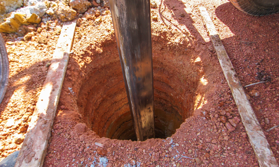
The world relies upon its groundwater resources for drinking water, agriculture, and to support critical ecosystems. As extreme weather events such as drought continue to occur, reliance on groundwater resources is expected to increase significantly. EESA scientists have led a number of key projects in support of the ability to understand and manage groundwater resources. In order to assess groundwater resources at scale, EESA scientists have developed an approach using satellite InSAR data paired with advanced computer modeling to estimate aquifer volume change from observed ground deformation.
Land-Water Interface
Land-water interfaces occur where surface water meets groundwater, upstream runoff meets lakes, and where rivers meet oceans. We are developing a holistic, multi-scale approach to quantify how environmental processes interact across these interfaces, respond to disturbances such as drought, atmospheric rivers, and wildfire, and influence exports in coastal systems. That involves working across terrestrial sites in mountainous floodplains along the Delaware, Colorado, and Columbia Rivers–where we are developing data-driven methods to predict the impacts of floods and droughts on water quality.
