
Earthquakes, posing risks to infrastructure, the environment, and the economy, are a natural hazard that scientists have been studying for decades to unravel their complex dynamics, implications, and how we can best plan for and mitigate their impacts. Caused by movement in tectonic plates that rub against each other dozens of miles deep within Earth’s subsurface, earthquakes can also affect the movement of other faults–fractures between rocks in Earth’s crust that, when they move, are the source of many earthquakes themselves.
Energy Geosciences Division (EGD) scientists, in collaboration with Geosciences Measurement Facility (GMF) engineers led by Paul Cook, recently developed a new multi-sensor system that can monitor the impact of earthquakes on faults in real time, advancing our understanding of how seismic activity affects the subsurface. The suite of sensors is integrated into a data visualization system, which allows the data to be shown in 3D, displaying the direction of seismic activity and its impact. This new technology is a game changer for the collection, distribution, and accessibility of seismic data, and can now be used by any scientist at Berkeley Lab to access high-quality integrated datasets including information about rainfall, air-water temperatures, water level, ground displacements, and more.
“When it comes to seismic data collection, integrating and sharing data that comes from multiple sensors is a big challenge,” said EGD Senior Scientist Yves Gugliemi. “This technology workflow developed at the GMF allows us to quickly produce, visualize, and process high-quality data for multiple parameters, while simultaneously making it easier for project partners to access and understand the data outputs. This could lead to easier–and more–interdisciplinary collaborations that can propel the seismic research field forward.”
The Importance of Fault Monitoring
The San Andreas Fault, spanning about 750 miles along California, is one of the world’s most active faults. Formed by the western Pacific tectonic plate and the eastern North American tectonic plate rubbing against each other, the friction and movement between the plates cause earthquakes throughout almost the entire state–from frequent imperceptible vibrations to more rare, city-shaking disasters.
These vibrations and movements in the Earth’s crust from earthquakes, known as “seismic activity,” can cause changes to rocks deep underground. EGD scientists are particularly interested in how seismic activity affects rock permeability–the ease at which fluid can flow through rock cracks and pores. Since the subsurface is being explored as a potential site for nuclear waste storage, scientists are trying to uncover how earthquakes might affect the longevity of repositories or pose threats for leaks–but there are many other fields this technology can advance, such as Enhanced Geothermal Systems (EGS) and geologic carbon storage.
From the GMF to the Field
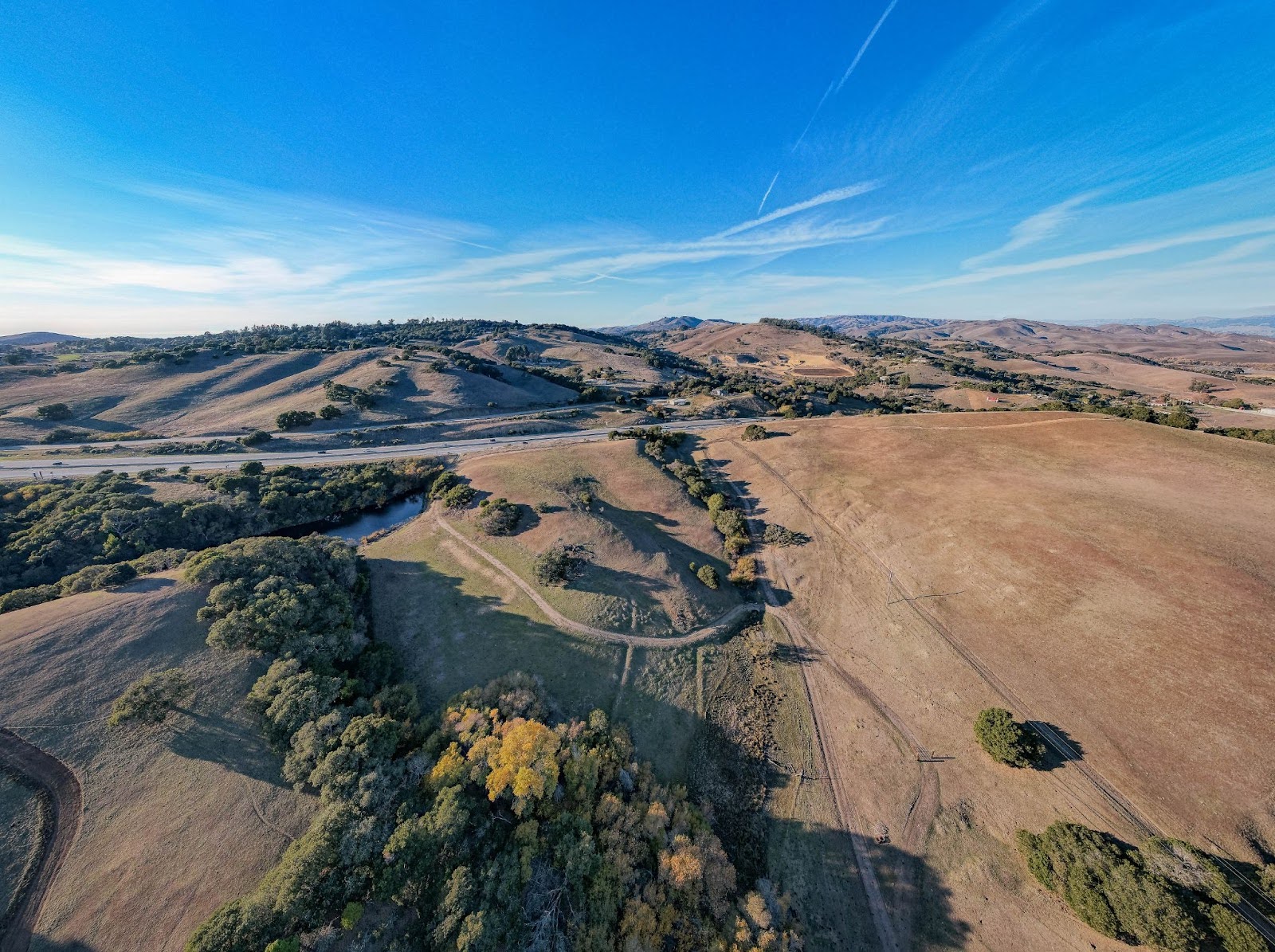
Landscape of the field site where EGD and GMF scientists and engineers tested the sensor along the San Andreas Fault. Credit: Jeremy Snyder
Seismic field research often involves piecing together datasets–sometimes even sourcing them from multiple people or organizations; one dataset might capture fault displacement, another might monitor water-table levels, and a different one might monitor seismicity. A key challenge that scientists face is the accessibility of this data integrated in real time. The GMF sensors can directly address this problem, making data more accessible with an integrated multi-sensor solution, data transmission systems, and processing workflows that autonomously monitor and gather information about many different data parameters.

Scientists at the Berkeley Lab San Andreas field site deploying the newly developed sensors into the ground to test their ability to monitor seismicity and other parameters. Credit: Courtesy of Yves Guglielmi
The team tested the system of sensors at the Berkeley Lab San Andreas field site, which is dedicated to studying the complex interactions between earthquakes and groundwater within fault zones. Located southeast of Santa Cruz, they inserted the sensors into several 200 meters deep boreholes drilled in the San Andreas Fault zone. The sensors can work at temperatures over 300 degrees Fahrenheit and pressures greater than 20 megapascals.
After deploying the technology and connecting to a remote transmission system that allows the data to be transmitted over far distances, they headed back to Berkeley Lab. The team then developed a visualization and preprocessing workflow that allows a user to see, evaluate, access, and interact with the monitoring system in real time and remotely.
“We designed this technology and workflow to be both impactful and practical–something that could withstand the harsh environments, depth, and seismic activity deep underground, but also deliver high-resolution, continuous data,” said GMF engineer Yukumo Tanaka, who developed the data visualization system. “For the first time, we’re able to see how faults and earthquakes behave on a timescale and at an unprecedented high resolution that can be easily found and manipulated.”
Implications and Applications for Real-Time Seismic Data

Example of data visualization in 3D, showing the realtime micrometer scale displacements on the fault that is figured as the grey plane. Credit: Courtesy of Yves Gugliemi
While the sensors were tested to monitor the impact of natural seismic activity upon natural faults, GMF engineers can change the sensor design, deployment and data processing and visualization workflow so that it can have wide-spread applications for research areas such as the development of EGS, hydrogen storage, and geologic carbon storage, all of which involve induced seismicity.
EGS, which creates artificial geothermal reservoirs in Earth’s subsurface by enhancing permeability with rock fracture or injecting fluids underground, can cause movement and vibrations in the subsurface (most of which go unnoticed by humans). Scientists can now use this seismic sensor to monitor both how EGS technologies might induce seismicity, and how seismic activity could impact the aging and stability of these human-made geothermal reservoirs. Scientists can now also easily access the datasets that are automatically integrated to better understand the relationship between, for example, fluid pressure and seismicity.
It can also give similar, unprecedented insights into the impact of seismic activity on geologic hydrogen and carbon storage, as the data shows how subsurface shaking affects rock permeability, which can help scientists better understand the longevity of these types of reservoirs.
The Future of Seismic Data
With easier data collection and real-time, continuous insights into earthquakes and their impact on faults and rock permeability, GMF and EGD scientists have granted access to numerous factors that are critical to understanding geologic movement and protecting and advancing our resources in the subsurface.
To learn more information about how to use the newly developed GMF sensors, contact Julia Correa at juliacorrea@lbl.gov or the GMF at gmf@lbl.gov.
